-
 Access Wide Range of
Specialist Surveyor ServicesA forerunner and solutions-founded team with the latest and well accurate instruments -
 Access Wide Range of
Specialist Surveyor ServicesA forerunner and solutions-founded team with the latest and well accurate instruments -
 Access Wide Range of
Specialist Surveyor ServicesA forerunner and solutions-founded team with the latest and well accurate instruments -
 Access Wide Range of
Specialist Surveyor ServicesA forerunner and solutions-founded team with the latest and well accurate instruments

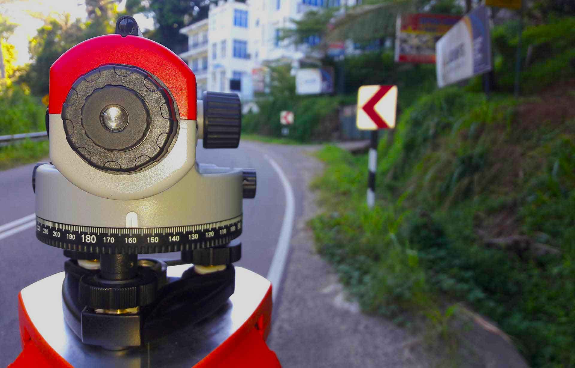
Topographic Surveying and Levelling
Topographic Surveying means that collection of location, height, depth, size from manmade or natural objects on a parcel of Land. Mainly, we do initial surveying for any road projects

Engineering
Surveying
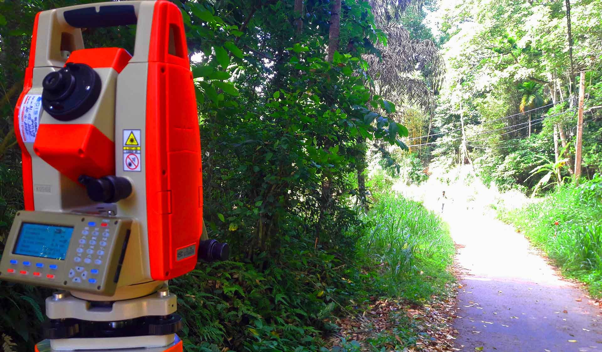
Our company does set out the design data of any project based on client’s requirements. For this, we use total stations as well as the latest GNSS technology. Engineering surveying is a part of the construction field of surveyor profession

Drone
Surveying
Drone surveying and drone mapping are the speed services as well as more affordable and easy land service. Usually this service can be used with 85% speed and cost is four times cheaper. Drones are an efficient path for clients

